Need a severe weather event covered? Contact me for further details.
Follow me on my social media accounts below!
Thursday 29th October 2020
After finishing work early, I dropped south of Tweed Heads in northern NSW to watch a tail-end Charlie storm develop across the Northern Rivers. This storm rapidly intensified as it encountered the SBF (Sea Breeze Front), becoming an HP monster with giant hail. I decided to see just how big the hail was. I encountered hail the size of cricket balls (8cm), leaving me with a smashed windscreen and numerous trophies in my car — all in the name of science. 😂
Check out my Youtube page for this video.
Tuesday 27th October 2020
Today was shaping up as a significant day on the Darling Downs (southern Queensland). Sadly, things didn't quite go to play with a cluster of storms forming early in the day, making things quite messy with numerous storms competing for quality air.
We were lucky enough to get on a fantastic little LP early, producing some quality CGs, before a monster gust front developed later in the afternoon.
Saturday 24th October 2020
Waking up on the morning of the 24th made things difficult. Overcast and rainy conditions made today's forecast just that bit harder; however, the dynamics at play that day would ensure thunderstorms fired up, and it was just a matter of where. A strong surface low was established across the southern Queensland and northern NSW border, extending an arcing dryline to the north-northeast. It was evident that the models were hinting at a dryline bulge across southern Qld, focusing moisture and shear an hour or two to our south whilst more certain storm activity with a weaker cap was to our north.
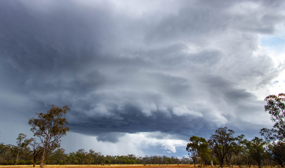
We left the town of Miles to head to Surat to play the dryline bulge, clearing the back of the morning rainband to find howling east-northeasterly winds. After eating lunch in Surat, we watched two towers going up, one to the northwest and one to the southwest, both in giant road hole regions (as chasing in large parts of Australia is). Knowing the southern storm was entering a more favourable environment, we blasted south whilst watching this beastly storm strengthen dramatically. It became apparent quickly that this was a violent supercell with a strong meso, large wall cloud and big hail.
Friday 23rd October 2020
Today was the first day of two on the road. Although we weren't expecting explosive supercells, high-based lightning storms were the order of the day, with potentially upscale growth into a line by the evening. This is precisely what resulted in western Queensland's Maranoa and Warrego regions. High-based storms developed mid-afternoon before a strong line advanced east into the late evening. My mate Jason and his wife travelled from Darwin down for this set-up, with our second chase day a day to remember.
Thursday 1st October 2020
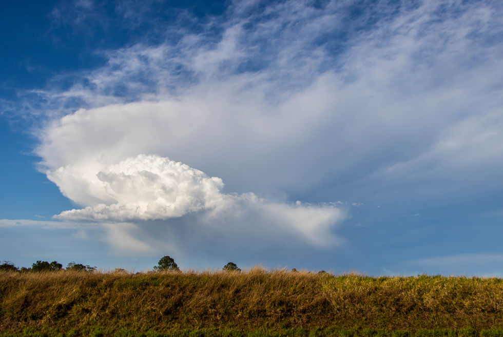
Whilst this day lacked quality moisture, an upper cold pool and sufficient wind shear were in place to produce a few low precipitation thunderstorms, with large hail possible. This eventuated across the Northern Rivers of NSW, with only a few small storms developing.
This cell, which moved through the Cabarita Beach - Kingscliff region, produced large hail to golf ball size for some locations. Whilst not a high-end day, it was a fun chase with some structure and hail.
Monday 21st September 2020
A robust negative tilt trough would enter the state, with strong low-level wind shear and increasing moisture along a dryline. The drive was 12 hours from the Gold Coast, so I left on a Sunday afternoon to ease the trip. The major hurdle was returning to work by 8 am Tuesday. My target was Nyngan in Western NSW. As I arrived in town just after midday, a cluster of high-based storms developed northwest of Cobar, rapidly moving southeast due to the strong wind shear.
As these storms began to encounter a better moisture profile, they lowered, consolidated, and became a beastly supercell with rapid motion in the wall cloud. Sadly, I had to leave at 4:30 pm to make it home in time, and I had an all-night drive ahead of me.


